
Tropical storm conditions can quickly intensify, evolving into major weather events that threaten coastal areas across the Atlantic Ocean, eastern North Pacific, and even parts of the southern hemisphere near South America. These powerful systems, often characterized by a well-defined center, bring tropical storm force winds, large waves, and the potential for tornadoes along the coastline.
When a tropical storm warning or hurricane watch is issued, communities from the east to the west must act fast. The damage is primarily caused by flooding, storm surge, and wind impacts across low-lying land areas, often within just the next few days—sometimes by Thursday or Friday. Several other storms may form in nearby basins, adding further pressure on response efforts as shore regions brace for worsening conditions moving toward the northeast.
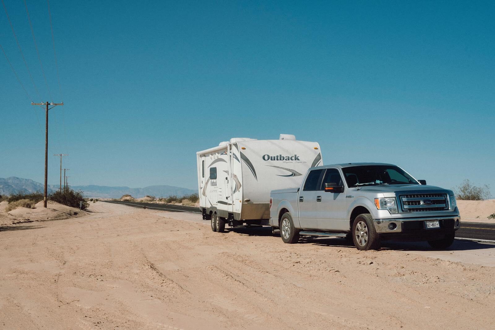
In these moments, preparation and logistical coordination become lifesaving. Interstate Haulers plays a vital role in emergency response, ensuring trailers, equipment, and relief units reach the hardest-hit zones safely and efficiently—both before and after a storm makes landfall.
Understanding a Tropical Storm
What Is a Tropical Cyclone?
A tropical cyclone is a rotating, organized system of clouds and thunderstorms that forms over warm tropical or subtropical waters. It begins as a tropical depression, a low-pressure area with sustained winds below 39 mph. Fueled by heat energy from the ocean, these systems can intensify into a tropical storm, producing heavy rain and tropical storm-force winds capable of damaging property and disrupting life along coastal areas.
Once maximum sustained winds reach 74 mph, the system is officially classified as a hurricane. If wind speeds climb above 111 mph, it becomes a major hurricane, posing an even greater threat to land areas and shore communities. These natural systems are primarily caused by temperature imbalances and atmospheric disturbances that draw energy from warm ocean waters, turning minor weather systems into powerful rotating storms.
Tropical Storm Watches and the Role of the National Hurricane Center
When a tropical storm watch is issued by the National Hurricane Center, it signals that tropical storm conditions—including strong winds, heavy rain, and possible tornadoes—are expected within 48 hours. This advance warning gives emergency managers, local governments, and residents the critical time needed to prepare for potential landfall.
The National Hurricane Center monitors weather patterns across the Atlantic Ocean, Gulf of Mexico, and Caribbean Sea, tracking each system’s well-defined center, predicted movement, and intensity. Their forecasts allow agencies like Interstate Haulers to plan logistics and coordinate disaster relief operations efficiently, ensuring essential trailers, housing units, and generators reach impacted zones safely.
Tropical Storm Jerry: A Case Study in Rapid Intensification
Tropical Storm Jerry provides a clear example of how quickly a system can evolve under favorable conditions. Initially developing as a tropical depression in the central tropical Atlantic, Jerry strengthened as it encountered warm sea-surface temperatures and low wind shear—two key ingredients for rapid intensification.
As Jerry approached the northern Leeward Islands, its maximum sustained winds increased dramatically in a matter of hours, underscoring how quickly these storms can transition from a moderate threat to a severe one. Meteorologists compared Jerry’s development to several other storms that exhibited similar patterns in the Atlantic basin, reminding coastal residents and emergency response teams to stay alert even when a storm seems distant.
Global Storm Activity: From the Central Pacific to the Indian Ocean
While the Atlantic basin often receives the most attention during hurricane season, tropical activity also occurs across the central Pacific, Indian Ocean, and even the southern hemisphere. In the central Pacific, storms tend to form east of the International Date Line, occasionally moving toward Hawaii or curving back into the open ocean.
Meanwhile, in the Indian Ocean, tropical systems can bring devastating monsoons, flooding, and storm surges to countries along the coasts of Africa, India, and Australia. Similarly, regions in South America may experience the effects of subtropical or extratropical cyclones, particularly along the east and west coastlines, where warm currents interact with cooler air masses.
Each region’s storm season varies based on oceanic and atmospheric patterns, but the global lesson remains the same: tropical systems—whether in the Atlantic Ocean, central Pacific, or Indian Ocean—demand constant monitoring, preparation, and rapid logistical response.
The Science Behind Rapid Intensification
Rapid intensification occurs when a storm’s wind speed increases by at least 35 mph within 24 hours, driven by the right combination of warm water, low wind shear, and abundant moisture. This phenomenon is especially dangerous because it leaves little time for preparation before a storm reaches coastal areas or makes landfall.
Forecasters continue to study how changing ocean temperatures and atmospheric shifts contribute to this process. The National Hurricane Center and other international meteorological agencies rely on advanced satellite data, computer modeling, and historical patterns to improve predictions—helping responders like Interstate Haulers mobilize with greater precision in the face of fast-changing storms.
When Every Hour Counts: Disaster Logistics in Action
Once a tropical storm watch or hurricane warning is issued, the clock starts ticking. This is when disaster logistics become paramount. Interstate Haulers mobilizes its fleet quickly, coordinating with FEMA, local emergency management agencies, and private contractors to deploy critical assets. Our primary mission is to deliver temporary housing, generator trailers, communication equipment, and other emergency supplies to affected coastal regions before conditions deteriorate.
Our experience working in areas severely impacted by storms has taught us how to navigate compromised infrastructure. Our professional drivers are skilled at maneuvering through flooded roads and debris-filled landscapes to ensure critical supplies reach the front lines of the disaster zone. With nationwide coverage and a commitment to timely response, we make sure that help arrives when and where it is needed most.

Photo by Ibrahim Rifath on Unsplash
The Science Behind the Storm: Tracking and Forecasting
Meteorologists use a combination of advanced tools to track and forecast developing storms. Satellite data provides a visual representation of a storm’s structure and intensity, while wind speed analysis and sea-level pressure readings help determine its strength and potential path. Forecasters monitor disturbances for signs of organization that could lead to the formation of a tropical cyclone.
You might hear terms like subtropical cyclone, which has characteristics of both tropical and extratropical systems, or extratropical cyclone, which forms in mid-latitudes. A remnant low is what’s left of a tropical cyclone after it has lost its tropical characteristics. Even these weaker systems can still produce heavy rain and high winds. The forecast guidance issued by the National Hurricane Center is invaluable, allowing organizations like Interstate Haulers to prepare routes and deployment plans days before a storm is expected to make landfall.
How Interstate Haulers Supports Disaster Relief
During past Atlantic hurricane seasons, Interstate Haulers has been at the forefront of relief efforts. We have transported thousands of FEMA trailers to provide temporary shelter for displaced families. We have also moved restroom units for emergency shelters and industrial generators to restore power to hospitals and critical facilities. Our partnerships with the federal government, municipalities, and utility companies are built on a foundation of trust and a shared goal of restoring essential services as quickly as possible.
As a family-owned company, we are deeply committed to the safety and well-being of the communities we serve. Our impeccable safety record and unwavering reliability, even under the most demanding emergency conditions, reflect this commitment. We understand that our work is more than just transportation; it’s a lifeline for those affected by disaster.
Preparing for the Weekend Forecast: What Coastal Residents Can Do
When a tropical storm watch is issued for your area, it’s time to act. Don’t wait until the weekend forecast confirms a direct hit. Take steps to secure your property by boarding up windows and bringing loose items indoors. Review your family’s evacuation plan and know your designated routes. Warm ocean temperatures in the Atlantic Ocean or the Gulf of Mexico can cause a storm to form and intensify in just a few days, so preparation is key.
Stay informed by monitoring updates from the National Hurricane Center and following the guidance of your local emergency officials. Having a plan and taking early precautions can make all the difference in protecting your family and property.

Photo by Alexey Demidov on Unsplash
Conclusion – Keeping Relief Running Smoothly
Tropical storms are an inevitable part of living in coastal regions, but the human response is what determines how quickly communities can recover. For nearly 30 years, Interstate Haulers has played a vital role in ensuring that essential transport for disaster relief, temporary housing, and emergency power units reaches those in need without delay. We are proud to support the resilience of communities by keeping relief efforts running smoothly.
When the next storm approaches, count on Interstate Haulers to deliver what matters most. Visit interstatehaulers.com to learn more or request a quote today.